Currently Empty: €0.00

Description
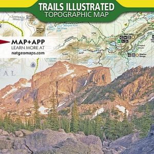
**Rocky Mountain National Park (National Geographic Trails Illustrated Map)**
Discover the rugged beauty and diverse landscapes of Rocky Mountain National Park with the National Geographic Trails Illustrated Map. Expertly researched and created in partnership with local land management agencies, this topographical map is an essential tool for outdoor enthusiasts seeking to explore the park’s vast wilderness. Whether you’re a hiker, backpacker, or nature lover, this map provides unparalleled detail to enhance your adventure.
**Features:**
– **Comprehensive Coverage:** This map covers all of Rocky Mountain National Park, including popular destinations such as Longs Peak, Bear Lake, and Trail Ridge Road. Explore hidden gems and iconic landmarks with confidence.
– **Topographical Detail:** With contour lines, shaded relief, and elevations, you’ll have a clear understanding of the park’s diverse terrain, helping you plan your route effectively.
– **Waterproof and Tear-Resistant:** Designed for the rigors of outdoor use, this durable map is waterproof and tear-resistant, ensuring it stands up to unpredictable weather conditions and rugged trails.
– **Trail Information:** Includes clearly marked trails, trailheads, and mileage indicators, allowing you to choose routes that match your skill level and time constraints.
– **Visitor Information:** Find useful information on visitor centers, campgrounds, picnic areas, and points of interest, ensuring a safe and enjoyable experience.
– **Updated and Accurate:** Reflecting the most current data available, this map provides reliable navigation, so you never miss a beat on your adventure.
Whether you’re planning a day hike, a weekend backpacking trip, or a scenic drive, the National Geographic Trails Illustrated Map of Rocky Mountain National Park is your trusted guide. Equip yourself with this indispensable tool and embark on a memorable journey through one of America’s most breathtaking national parks.